
Follow an Alliance Street Directory Trail
For a Stark-side address, begin with the official property roll rather than an assumed occupant list. The result supplies a parcel identity and a physical, or situs, address. Save the parcel number and legal description before changing portals. Those two details are more stable than a street name when an address has a directional prefix, an older form, or a similar name elsewhere. Alliance addresses in the city’s Mahoning County portion need the Mahoning Auditor and GIS route instead, even when the mailing city says Alliance.
- Search the address in Stark County Real Estate Search, or use the Mahoning Auditor after confirming a Mahoning parcel. Record the PIN, situs address, current owner field, sale lead, and legal description.
- Open the parcel in Stark County GIS. Use Parcel and Roads & Addresses layers to check which lot actually matches the number and direction.
- Use the legal description and party names at the Stark County Recorder to locate the deed trail. Match the description before treating a prior deed as the same property.
- For a dated occupant question, search the 1897–98 street directory and ask Rodman Reference staff for the relevant physical directory year. Compare editions before describing a move.
- Use Ohio voter resources only for a named person and the proper county. The public lookup does not offer a street-wide voter browse.
That sequence separates land records, map evidence, and published historical entries. It also avoids turning a tax-mailing field into a claim about a household.
Search Alliance Street Address Fields
The Basic Search in Stark Real Estate Search accepts several address parts at once. The official help says a partial street can return a whole street, an asterisk works as a wildcard, and a broad result can stop after 500 displayed rows. Start broad enough to catch a spelling variation, then narrow with the number, direction, city, or ZIP field. The result grid can show a parcel number, owner, parcel address, land-use number, and land-use description.
| Alliance property field | Entry type | How it helps a street search |
|---|---|---|
| Address # | Text | Targets a house number on a named street. |
| Street | Text | Accepts a partial street value; a wildcard can broaden the result. |
| Suffix and direction | Separate selectors | Distinguish forms such as a directional street reference. |
| City and ZIP Code | Text or selection | Constrain a broad Alliance street result. |
| Parcel ID or owner | Text | Reconnect an address result to a known parcel or party. |
See the official Stark property-search entry before submitting a query.
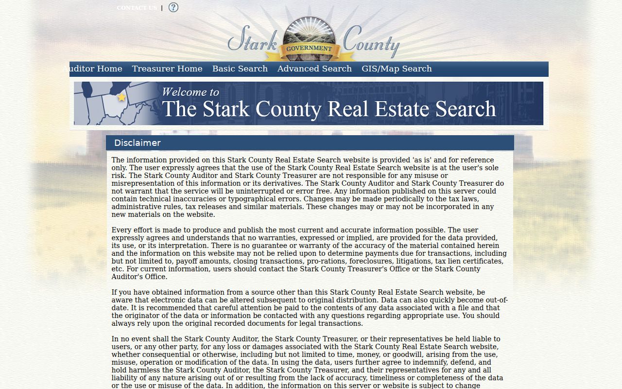
The search screen is the address-to-parcel starting point, not a current household register. Keep its reference-only warning in mind when comparing results.
Map an Alliance Street Segment
Stark GIS supplies the spatial check that a text result cannot. Its Basic and Advanced Parcel Viewers provide a Record Navigator, Buffer Search, Search, Query, Select, Measure, Draw, Layer List, Feature Summary, Pictometry, Print, and layers for parcels, roads and addresses, tax-map lines, flood plains, neighborhood boundaries, zoning, and imagery. Select a parcel from the street, then use Record Navigator to return to property data. A map line is informative, not a survey or a replacement for the recorded legal description.
Use the official Stark GIS viewer page to reach the public parcel viewers.
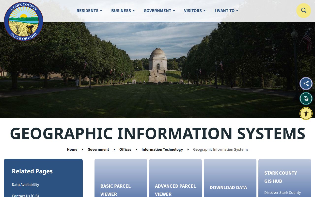
GIS is most useful for seeing whether a street segment crosses parcels or a jurisdiction edge before a record request is prepared.
For an Alliance parcel in Mahoning County, switch to the Mahoning County Auditor and Mahoning GIS/Tax Map. Its instructions allow single-address, range, or whole-street searches and distinguish Deeded Owner Address from Tax Payer Address. Neither correspondence field proves physical occupancy.
Read Alliance Parcel Cards
Once an Alliance street search reaches the right property card, use its panels as a checklist rather than as a people directory. Stark presents Profile, Values/History, Sales, Tax Summary, Distribution, Estimator, Land, CAUV, Residential, Commercial, Outbuildings, Manufactured Homes, Sketch, and Maps. The public parcel service also identifies the PIN, tax year, site address, owner, mailing and billing fields, legal description, owner-occupancy credit, homestead exemption, value, sale date and price, prior owner, and tax balance.
These details have different strengths. The Sales panel can point to an instrument; the legal description connects that instrument to the parcel; a mailing address is a correspondence clue; and an exemption is only a limited, dated owner-occupancy clue. Neither a profile screen nor an aerial image identifies every person who lives at the site. Preserve the date you accessed the card because the county describes its property information as reference-only and subject to change.
Alliance Address Record Sources
Different address records answer different questions. The table follows address-keyed evidence and the limits that travel with each source.
| Address source | Alliance keeper | Street question answered | Access boundary |
|---|---|---|---|
| Property and tax card | Stark Auditor/Treasurer | Which parcel, owner, situs, mailing fields, values, and sales appear? | Free web reference; not all occupants. |
| Parcel map | Stark GIS | Which parcels and map layers line a segment? | Public viewer; not a land survey. |
| Recorded documents | Stark County Recorder | Who conveyed a matching legal description? | Portal and counter; web cutoff is unverified. |
| Permits and archive material | Alliance Building Department and City Archive | What dated work or civic material concerns an address? | Forms, counter, or narrow request; no public address search found. |
| Historic directories | Rodman and Alliance Memory | Who was published at an address in a particular edition? | Period-specific, not title or continuous residence. |
| Named voter record | Ohio voter system or board office | Is an allowed record found for a particular person? | No address-first, street-wide browse. |
An address search should lead with the source that matches the question. A permit may date work, while a deed records a land transaction and a directory records what a publisher printed.
Alliance Address Research Terms
Address research uses a few terms that look similar but do different work. Treating them as interchangeable causes false matches, especially where Alliance meets Mahoning County.
- Parcel or PIN
- The county property identifier used to connect a map result with a property card and tax data.
- Situs address
- The physical location of the property, as distinct from a mailing or billing address.
- Legal description
- The lot, block, subdivision, or metes-and-bounds identity used to match a deed to the right land.
- Criss-cross directory
- A historical address-order directory that can lead from a street entry to a published occupant in that edition.
Note: Preserve the street direction, parcel ID, and legal description together when moving between Alliance record systems.
Trace Alliance Deed Records
Property cards can show the most recent sale date and prior-owner information, but the recorder holds the recorded instrument. Start with the present owner as grantee, then open the purchase deed and note its recording date, document number or book and page, grantor, grantee, and legal description. For the next earlier link, search that seller as an earlier grantee and require the same lot, block, or description before moving back.
Use the Recorder-linked Kofile search when it is available. Research could not verify an address-search control, its online coverage cutoff, or post-login filters. The county counter is therefore a real fallback: bring the names and legal description and ask for the historic grantor/grantee route and document image or book/page. Stark land-document history begins in 1809, but that does not mean every early instrument is searchable online.
Open the Stark Recorder records entry for the office path and record-search information.
The Recorder route verifies the document behind a sale or ownership clue instead of relying on a property-screen summary alone.
Read Alliance Street History
The 1897–98 Official Alliance City Directory has a special address-order section as well as an alphabetical list. It can identify a published occupant or business address for that edition. Full-text search is useful, then inspect the page itself because OCR, initials, res/rms, and directional prefixes can hide a result. The printed forms S Union, E Market, and W Main should be kept exactly when searching older material.
Rodman’s Alliance Room holds city directories from 1876 and the Alliance Review on microfilm from 1871 to the present. The Alliance city directory collections give the historical shelf and year runs in depth. Sanborn maps for 1867–1970, city ordinances, and council material are better tools for checking a suspected address change than guessing at a citywide renumbering date. No authoritative general renumbering year was found.
Alliance Building Department materials create another address-specific channel. Building, electrical, mechanical, move-building, raze-building, and sign applications are available through the City, but research found no public online permit search. A narrow request should state the address, a date interval, and the type of work sought. The custodian can supply records it maintains and need not reconstruct a complete history. A permit may date work or identify an applicant, but it does not prove who occupied the property.
Use the Alliance ordinance archive when a street or improvement needs a dated municipal record.
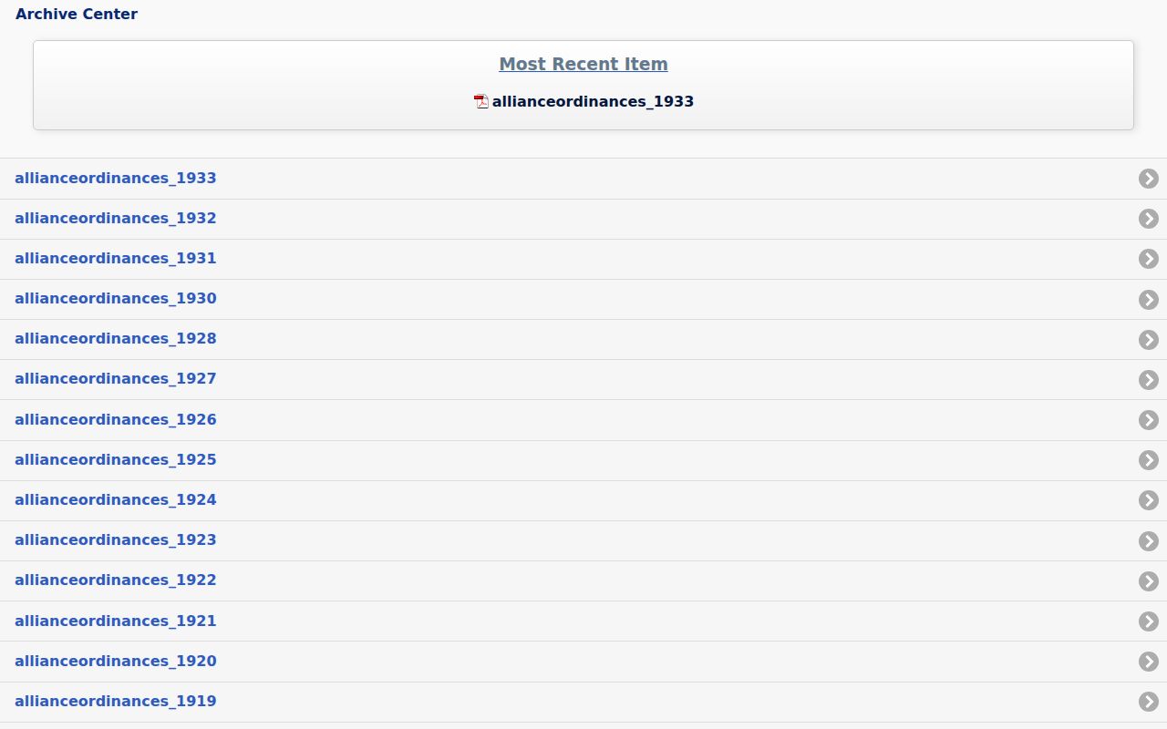
Historic ordinances can establish municipal context, but they are not a list of people living at an address.
Check Alliance Voter Boundaries
Ohio Voter Lookup is a confirmation tool for a particular individual, not a street-browse tool. It requires first name, last name, and county, and only displays a Street Name selector after an individual result. Ohio law permits publication of specified registration information and voting history, but voting history records participation in an election, never ballot selections. The state offers a separate daily voter-data request system, while local boards have office-inspection rules and protected entries remain excluded.
For most Alliance addresses, Stark County is the primary election-record path. An Alliance address in the Mahoning portion must use the county that actually holds its registration record. Do not infer the county from the Alliance mailing city or the 44601 ZIP alone.
Alliance Street Search Limits
A public Alliance address search cannot list every person at a house. Property cards show parcel and owner fields, not renters or every household member. A voter lookup requires first name, last name, and county, then offers a street selector only after a person-level result. It is not a public voter roll by street. Vehicle, utility, delivery, protected voter, sealed, and Safe at Home information remain outside that route.
Ohio’s Safe at Home program removes participant information from public voter lists and the statewide database. A protected address is a firm stopping point. When a needed existing record is not online, a narrow request under the Ohio Public Records Act can identify an address, record type, and date range, but a custodian need not create a new compilation or conduct research.