
Alliance Address Records by Era
An address history works best as an evidence ladder. First identify the current parcel in the proper county, since Alliance includes a small Mahoning County portion. Then use the legal description to follow recorded ownership, rather than assuming that an unchanged street number describes the same tract. Directories, newspapers, and census releases add the household layer. They are snapshots from particular years, not proof of continuous residence between editions.
| Source | Years It Covers | Where Held | What It Shows |
|---|---|---|---|
| Stark recorded land trail | Land documents from 1809; online cutoff not verified | Stark County Recorder and counter | Parties, recording dates, and a legal-description ownership chain. |
| Alliance city directories | Physical run from 1876 | Rodman Alliance Room | Published home or business entries in a named year. |
| Digitized directories | 1868 and 1897-98 confirmed volumes | Alliance Memory | Searchable names and addresses; the later volume includes a street directory. |
| Alliance Review | Microfilm 1871 to present | Rodman and Ohio Memory resources | Notices, obituaries, advertisements, and address context. |
| Sanborn maps and city records | Maps 1867-1970; minutes and ordinances 1854-1924 | Rodman and city archives | Building, street, and municipal context, not a resident list. |
Use the property record when the question is about the parcel, the Recorder when it is about title, and a dated directory when it is about an occupant. The Mahoning County Auditor replaces the Stark property route after an address check shows the parcel lies on Alliance's Mahoning side. That county check belongs at the start, not after a deed trail has been assembled.
Match Alliance Parcel Records
For a Stark-side address, begin with the free Stark Real Estate Search. Its Basic Search accepts a parcel ID, owner, address number, street, suffix, direction, city, and ZIP Code. The help instructions say that a partial street search and an asterisk wildcard can broaden a search; omitting the suffix is useful on the first pass. Add a number, direction, or ZIP when results are large, because a broad result can be limited to 500 displayed entries.
Save the PIN, site address, owner field, most recent sale details, and legal description. The site also exposes mailing or billing information, but a correspondence address may belong to an agent, business, post office box, or a different home. A situs address identifies the land. Neither field creates a list of everyone who lived at the property. The property card is marked as reference material, so the recorded instrument remains the document to check for a title conclusion.
- Grantor
- The person or entity transferring an interest in a recorded document.
- Grantee
- The person or entity receiving that interest, often the buyer in a deed.
- Chain of title
- The sequence of conveyances matched from one owner to the next for the same land.
- Legal description
- The lot, block, subdivision, or metes-and-bounds identity used to match a parcel when a street address changes.
Trace Alliance Previous Residents Backward
The deed chain identifies prior recorded owners, not automatically the prior household. Start with the current parcel card's most recent sale lead and legal description. At the Recorder's linked Kofile search, use the known party names as a grantee or grantor and compare the legal description, lot, block, or parcel clues. Research did not verify the portal's online coverage cutoff or an address-search field, so do not rely on a street number alone.
- Locate the current Stark or Mahoning parcel, then copy the PIN and legal description exactly.
- Find the current owner's purchase instrument as a grantee, and record its date, document number or book and page, grantor, and grantee.
- Search the seller from that instrument as an earlier grantee, matching the same legal description before accepting a link.
- Repeat one conveyance at a time, preserving each document reference and any subdivision or lot change.
- When the online route does not reach the needed period, take the names and legal description to the Recorder counter for historic grantor-grantee books or indexes.
The Stark County Recorder reports county land documents from 1809 and describes its online documentation as free to access. Its current recording fees are not copy prices: a listed deed, affidavit, mortgage, release, or mechanic's lien is $34 for the first two pages and $8 for each additional page, with possible cross-reference or non-standardization charges. Keep those categories separate from any question about an older copy or certified record.
Note: The Recorder's web coverage cutoff was not verified, so an absent online result should lead to a counter inquiry rather than a claim that no earlier deed exists.
Alliance Recorder and Earlier Records
Counter research supplies the channel that a gated or incomplete web index cannot. Bring the current legal description, parcel number, the names already found, and a narrow date range. Ask staff for the historic grantor-grantee route and for the document image or book and page tied to that description. A recorder index is a document-and-party system. It can establish that an instrument was recorded, but it does not show whether every owner occupied the site.
For an address in Mahoning County, switch the entire ownership chain to the Mahoning Recorder and the Mahoning parcel record. Do not merge a Stark parcel card with a Mahoning deed search just because the mailing city says Alliance. Saving the county determination alongside the legal description makes a later review much easier.
The 1809 land-record history is useful context for a deep Alliance house history. It is not evidence that every early document is indexed online or that a federal patent can be matched to a modern street number without an unbroken legal-description trail.
Pair Alliance Household Records
Previous residents become clearer once a deed trail is paired with published household evidence. Rodman holds Alliance directories from 1876, Review microfilm from 1871 to present, census information, yearbooks, clippings, and other local material. The 1897-98 Official Alliance City Directory has a special street directory as well as alphabetical entries. It can place a published person or business at a numbered street address in that edition, but it does not establish title or later residence.
- Choose a directory edition close to the deed or property event being studied.
- Copy the street direction, number, initials, spouse notation, occupation, and the printed res or rms notation where present.
- Check an earlier and later edition for a move, changed employer, or widow notation.
- Pair the dated directory entry with the available federal census release to test household relationships and place.
- Use the Review, obituary notices, or probate material to distinguish a death from a move, always preserving the source date.
The digitized volumes are useful first stops, but they do not replace the shelf. Alliance Memory confirms an 1868 McKee Business Directory and the 1897-98 Official Alliance City Directory; Rodman's physical run fills many of the intervening years. The historical collections themselves are described in more depth on the Alliance city directory page.
Lawful use. Alliance house-history research supports family history and heir research. Do not use historical findings to track, harass, or harm a living person.
Date an Alliance House Carefully
Property records do not answer every house-history question. The Alliance Building Department permit page provides building, electrical, mechanical, move-building, raze-building, sign, and related forms, but research found no public address-searchable permit database. A precise public-records request should identify the address, work type, and date interval. Under the Ohio Public Records Act, Ohio Rev. Code §149.43, an office must provide existing records as the law requires but need not create a new history or perform research.
The following capture comes from the public permit source, which is a form and contact route rather than an address lookup.
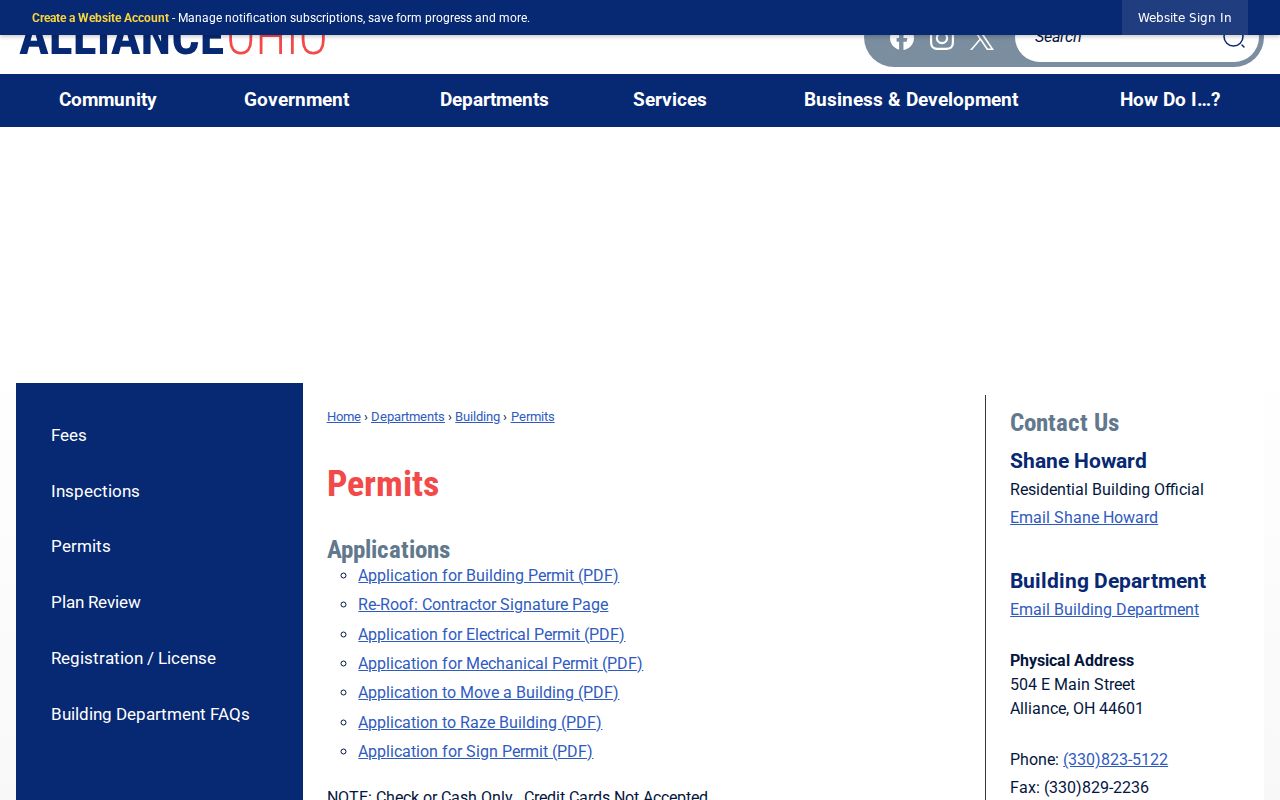
Permit evidence can date a proposed or completed work record, or identify an applicant or contractor in the record, without proving that person lived at the property.
Sanborn fire-insurance maps cover Alliance from 1867 to 1970 and can help compare a building footprint or use across time. City ordinances and minutes add civic context. Rodman reports that its 2017 city-records project returned 12,998 pages as 1,742 PDFs for material from 1854 to 1924. These sources should be read beside deeds and directories, not as replacements for either.
Preserve Alliance Historic Address Records
Historic search terms can decide whether an address trail is found at all. Williamsport, Freedom, and Liberty merged at the railroad crossing that became Alliance, which was incorporated as a village in 1854. Mount Union, founded earlier, was annexed in 1889. A directory, newspaper, or census entry may therefore use a predecessor community label or Mount Union context rather than the modern city name.
Retain directions exactly as printed. The 1897-98 directory uses forms such as S Union, E Market, and W Main. A missing direction can mean another street, an OCR miss, or a different location. The City Archive Center offers a searchable municipal records and minutes collection for exact terms and dates, while the ordinance interface reaches 1854-1933 with visible gaps.
The image below is from the City Archive Center's municipal archive route. It can help date a public decision, improvement, or subdivision reference tied to an address.
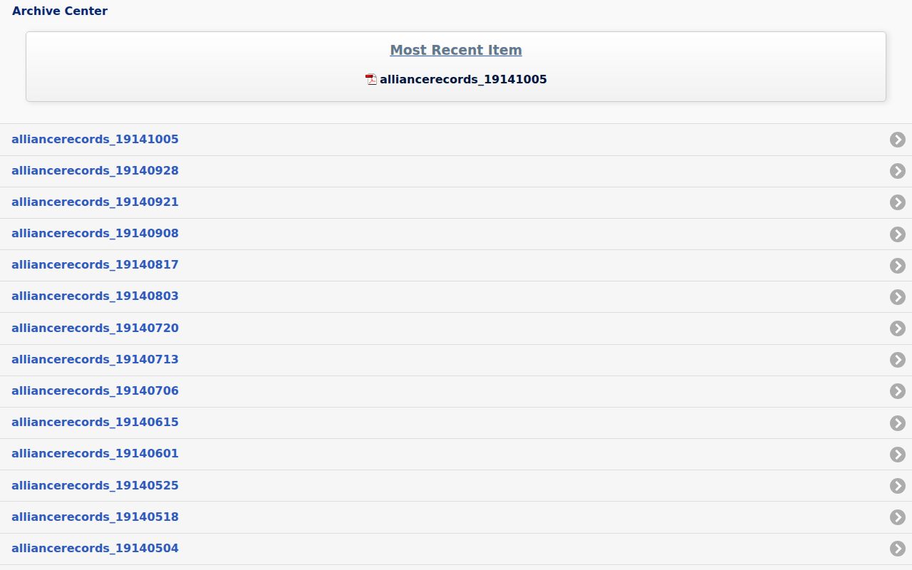
A municipal-record hit needs its full document and context before it is treated as an address change or evidence about a household.
Limits on Alliance Address Records
Probate and obituary sources can close part of an old household trail, especially when a directory entry stops appearing. Stark Probate's historical holdings include estate files since 1810, a marriage index from 1809 to 1972, marriage records from 1809 to 1916, a will index from 1811 to 1942, and will records into the 1980s at named repositories. These records can identify heirs, fiduciaries, or a death-related endpoint. They do not establish that a survivor currently lives at an old address.
The Stark Probate records page documents the archival route and distinguishes public web material from the official record. The Records Center shows visitors indexes but does not perform genealogy searches, so a focused request matters.
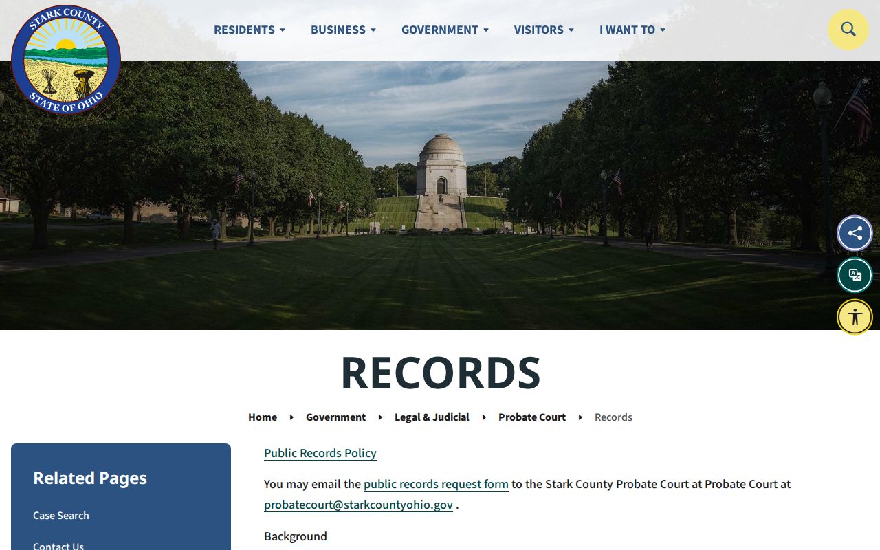
For a deeper trail, pair a probate index result with the parcel, directory, or newspaper date already in hand instead of treating a name match as proof of the same person.
Safe at Home participants and other protected records remain protected. Public historical material should be used for a lawful personal purpose and with care for living people, even when an old address appears in a published source.